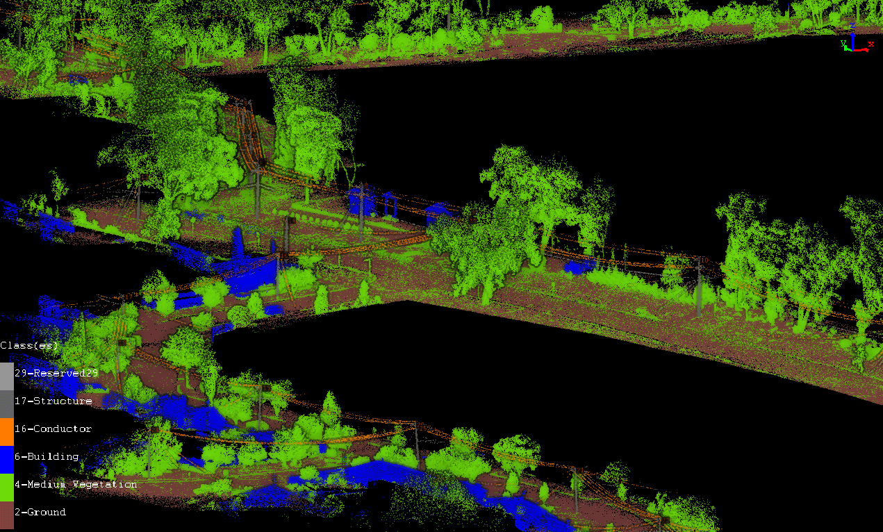
Using a 3D LIDAR Laser Scanning for aerial mapping and drone survey, we can more accurate map and get your assets managed better. In the ever-evolving landscape of technology, 3D LIDAR laser scanning has emerged as a game-changer in the realms of aerial mapping and drone surveys. At lidarsolutions, we pride ourselves on harnessing […]